Years of Experience
Get to know more about Mbire
Mbire district is located in the Zambezi valley approximately 200KM north of Harare, Zimbabwe’s capital. Mbire is home to some of the country’s best kept tourism and heritage secrets. It boats of vast tracts of land facing the mighty Zambezi river water-front at Kanyemba. This is also the border separating Zimbabwe, Zambia and Mozambique.
Historical Background
Mbire RDC is located in the Zambezi valley approximately
200km north of Harare, Zimbabwe’s capital. Mbire is home to some of the country’s best tourism and heritage secrets. It covers an area formerly known as Lower Guruve.
Mbire RDC came into being on the 5th of July 2006 after Guruve RDC spitted into two districts. The split saw Mbire RDC getting a portion after Presidential Proclamation 101/5 to split the former Guruve district into two. The split came against the background that Mbire residents were complaining that they were not benefiting much from the natural resources (Campfire) rather the people of upper Guruve were enjoying those perks at the expense of the afore mentioned residents. It is one of the eight administrative districts in Mashonaland Central Province. The area stretches from Mahuhwe rural service center in the south, bordering the Guruve RDC. The border is made up of an escapement that stretches from Mt Darwin passing through Muzarabani to the Zambezi river. In the western side, Mbire RDC borders with Doma Safari. In the Eastern side it borders with Muzarabani RDC, Utete and Musengezi River forming the boundary. In the northern direction, the council borders with Zambia, the Zambezi River forming the Zambian border. In the North-east the district borders with Mozambique and the boundary is formed between the two countries towards the Musengezi River.
According to the baseline survey conducted in 2012 census report, the district has an estimated population of eighty-one thousand people. The district is divided into 17 wards as a shall be shown on the district map. The district has a total of 12 clinics, 1 district referral hospital, 40 primary schools and 17 secondary schools.
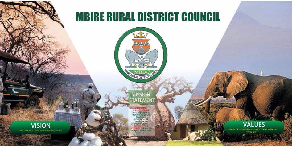
Vision
Mission
Values
According to the 2012 population census Mbire District has a population of 82 380+ people over 464 square kilometers of land. With Climatic conditions temperatures ranges of 15 degrees dry winters rising significantly to over 40 degrees in the summer season. The district falls in the agro-ecological region 4 and 5 which receives an average rainfall of between 450-500mm of rainfall per annum. An altitude of 500m above sea level in the Zambezi Valley.